Planimeter
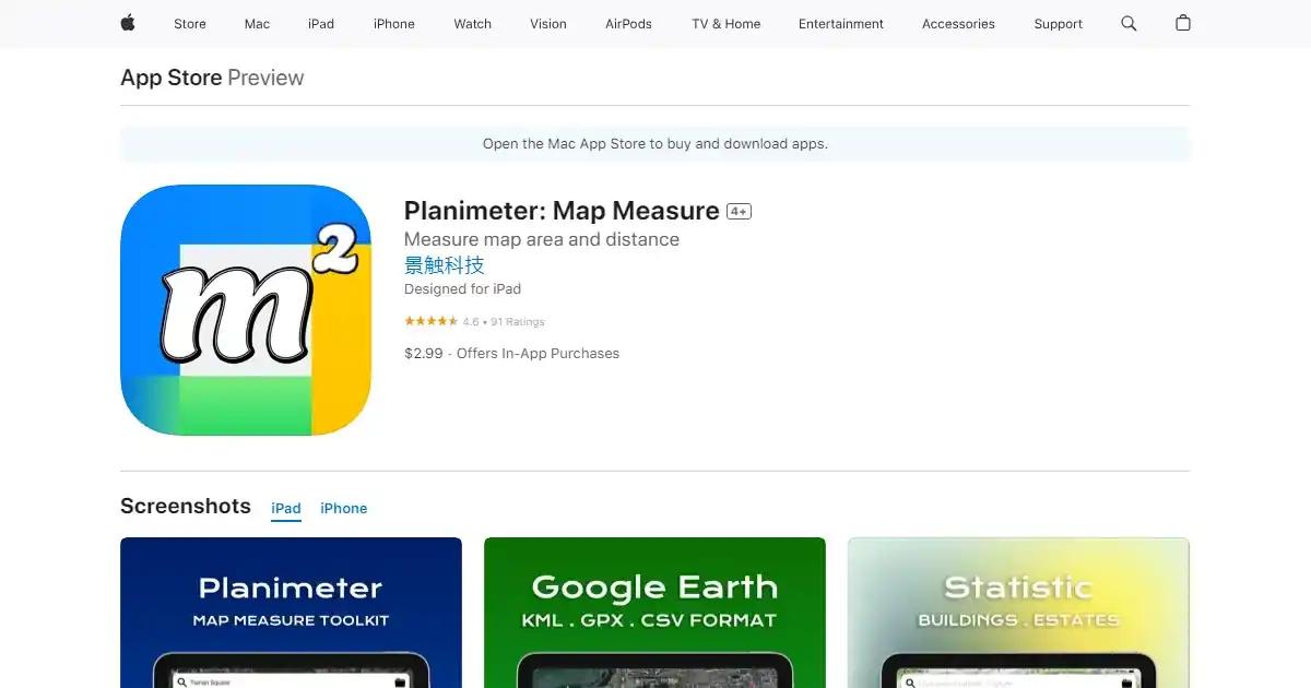
Planimeter is an AI platform for high-precision GPS mapping and land surveying. Ideal for engineers and farmers, it automates area and perimeter measurements.

January 9th, 2026
About Planimeter
Planimeter is an AI tool for professional-grade land surveying and high-precision mapping. Ideal for agricultural management and construction planning, it helps users automate site measurements by utilizing advanced satellite imagery and real-time GPS coordinates.
The platform operates as a robust geometric calculation engine that delivers instant data for area, perimeter, and distance. Users can choose from four distinct input methods including Target Mode for pinpoint crosshair accuracy and Stylus Mode for freehand boundary tracing. It features native integration with both Apple and Google Maps engines to provide varied views including Satellite, Hybrid, and Terrain for diverse field environments.
For technical surveying workflows, the tool goes beyond simple distance measuring to calculate angles between lines and both initial and back-bearings between map points. To maintain data integrity during field work, the application includes customizable GPS accuracy threshold settings and time-interval tracking to actively filter out signal noise and environmental interference.
Environment – iOS / iPadOS
Browser / Automation – Not applicable
Toolchain – KML, KMZ, CSV, TXT
Core Loops – Continuous GPS tracking and point collection
Capabilities – 4 measurement modes, Angle calculation, Noise filtering
💰 Pricing
Free Tier: $0.00/mo - Basic distance measurements and map searching with restricted features
Monthly Subscription: $0.99/mo - Recurring access to the modern tracking and export featureset
Full Access (Tier 1): $4.99 one-time - Lifetime core premium feature unlock for standard users
Full Access (Enterprise): $99.99 one-time - Highest commercial tier for professional survey firms
Annual Subscription: $9.99/yr (or $0.83/mo billed annually) - Discounted yearly professional access
🌍 Why Choose Planimeter?
✅ Project-scale automation for land area surveying tasks
✅ High-resolution screenshot and professional KML data sharing
✅ Proprietary GPS signal noise filtering for reliable mapping
✅ Dual-engine support for both Apple and Google Maps data
✅ Popular among farm managers and construction engineering teams
🌐 Discover Planimeter and thousands of other AI tools on Beyond The AI - your trusted directory for AI solutions.
Who is using Planimeter?
Civil Engineers Land Surveyors Farm Managers Construction Project Managers Real Estate Developers
Key Features
- GPS Real-time Path Recording
- KML/KMZ and CSV Data Export
- Target Mode Crosshair Precision
- Angle and Bearing Calculation
- Apple and Google Maps Integration
- GPS Accuracy Signal Filtering
- Freehand Stylus Drawing Mode
Use Cases
- Measuring agricultural crop field areas
- Calculating construction site perimeters
- Mapping outdoor hiking or golf course paths
- Professional land surveying for real estate boundaries
Loading reviews...
